Support for developers
using GeoGarage API
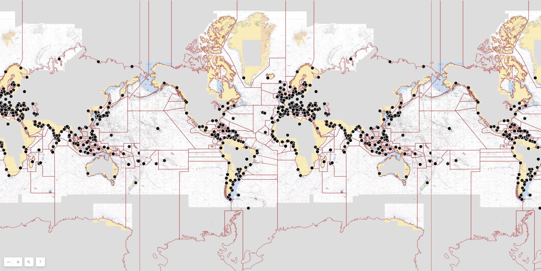
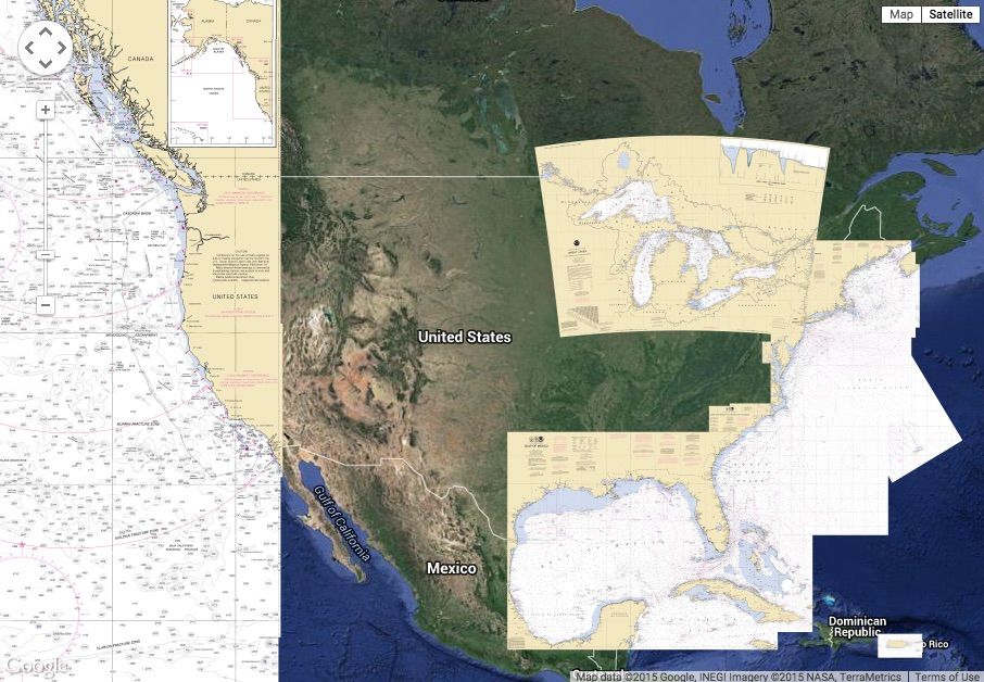
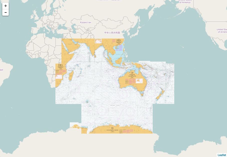
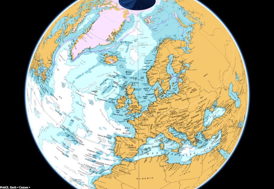
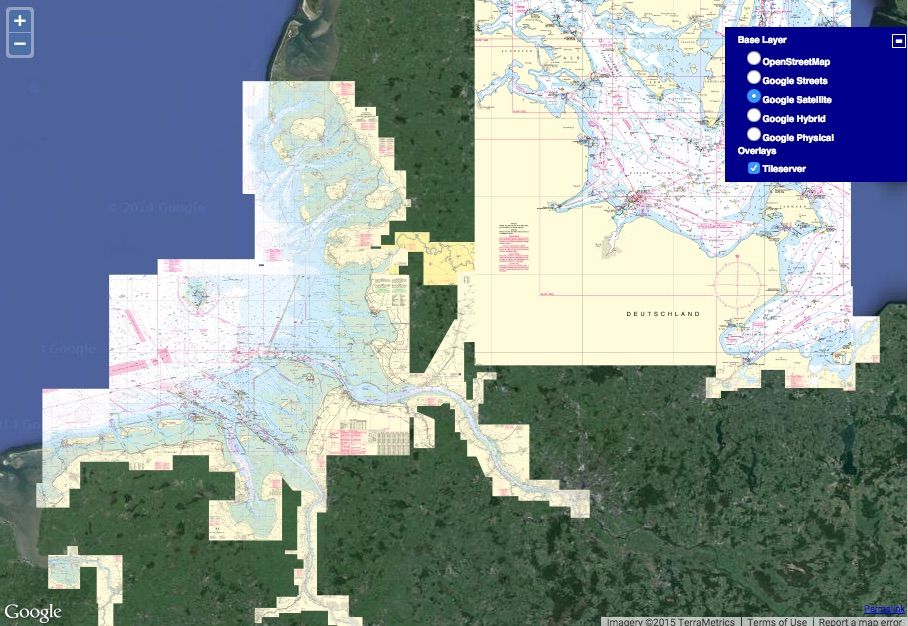
Nautical chart
database
Georeferenced digital nautical charts
processed in the GeoGarage Tiling Engine
TMS / WMTS /
TileJSON / MBTiles
OGC standards
managed by the GeoGarage API
Build flexible
user interface
embedding GeoGarage charts layers
with all browser web map APIs & Desktop GIS apps
Compatibility with standard webmapping API
Learn more about how GeoGarage interoperates with your own geospatial solution :
Contact us to get the technical information regarding the implementation of our GeoGarage API according to the following chosen JS technology :
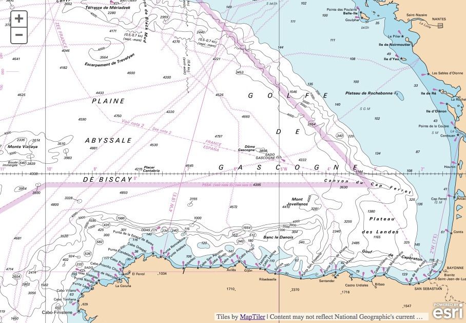
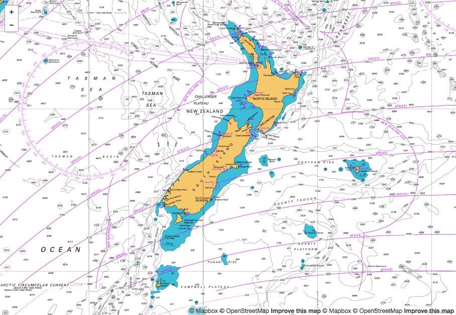
Compatibility with Destop GIS
GeoGarage layers can also be used via some WMTS protocol in standard Desktop GIS such as : QGIS, ESRI ArcGIS server 9.x/10.1+, Google Earth
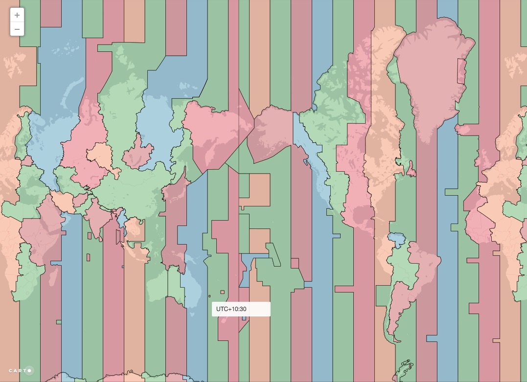
GeoGarage API : additional possibilities
On demand the GeoGarage platform can provide additional maritime data accessible with its API, and regularly updated.
For example : GeoGarage Time Zone API : for maritime areas
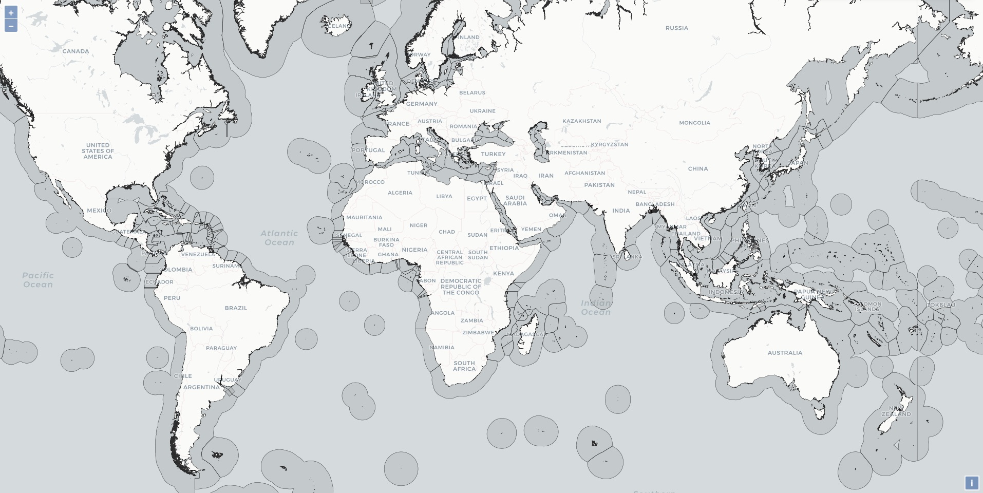
GeoGarage EEZ (Exclusive Economic Zone) showing maritime boundaries
SRR GeoGarage (worlwide Search and Rescue Regions)