16 charts have been updated in the GeoGarage platform
(BSH update October 2015)
- 2 Mündungen der Jade und Weser 50 000
- 3 Ansteuerung von Helgoland 50 000
- 4 Die Weser von Robbennordsteert bis Bremerhaven und Nordenham 25 000
- 32 Falshöft bis Holtenau 50 000
- 42 Nord-Ostsee-Kanal, part 1 50 000
- 44 Elbmündung 50 000
- 46 Die Elbe von der Oste bis Brunsbüttel und Krautsand 30 000
- 47 Die Elbe von Krautsand bis Schulau 30 000
- 51 Die Trave von Travemünde bis Große Holzwiek und Dassower See 12 500
- 88 Helgoland 12 500
- 106 Hever und Schmaltief 50 000
- 107 Vortrapptief, Norder- und Süderaue 50 000
- 1511 Greifswalder Bodden 50 000
- 1512 Peenestrom, nördlicher Teil 25 000
- 1516 Prorer Wiek 25 000
- 1578 Greifswalder Bodden, nördlicher Teil 25 000
Today 52 BSH raster charts (207 including sub-charts) are included in the GeoGarage platform
These updates are automatically viewable on universal mobile applications :
- Weather 4D Android -App-in purchase mode- on the PlayStore
Please visit the Notices to Mariners
old version
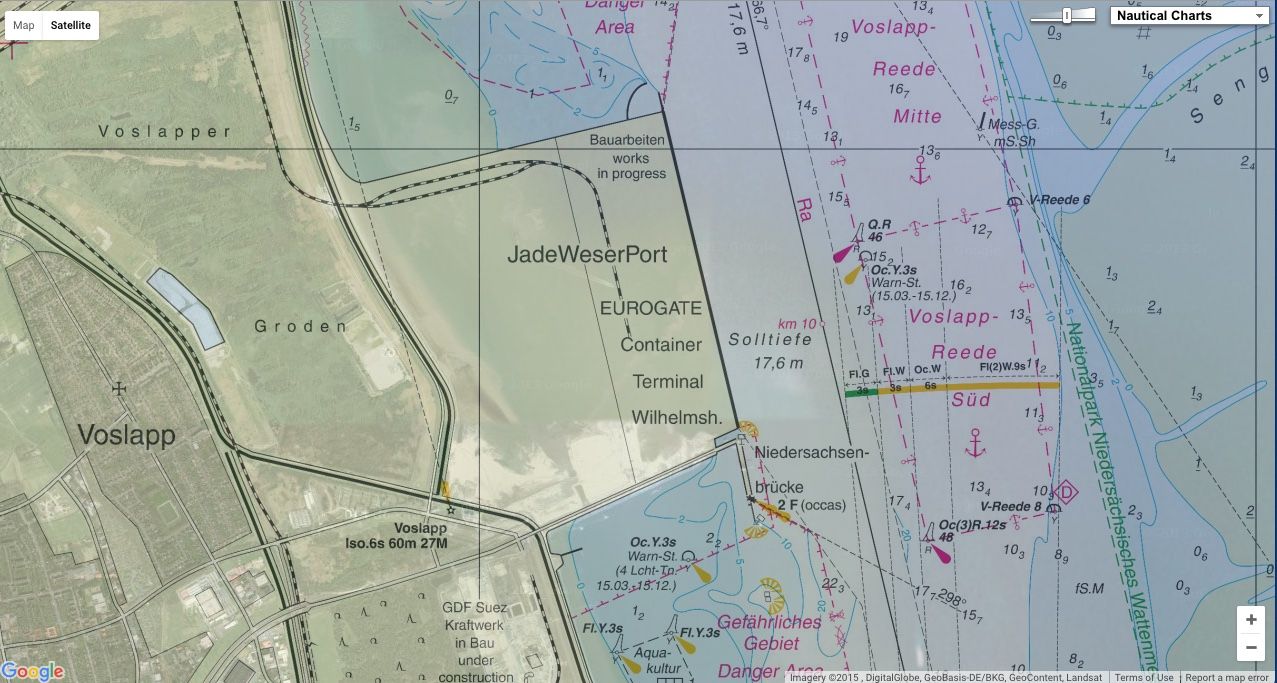
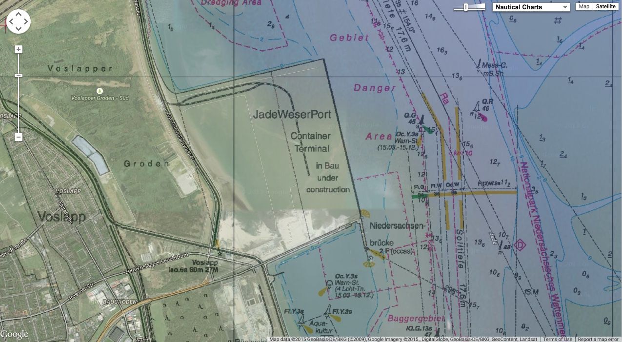
With JadeWeserPort, deepwater port opened in 2012, a few kilometers north of Wilhelmshaven, Germany has now its own deepwater port, able to handle the largest container ships of the world today.